
MEMPHIS
Memphis, the first capital of Egypt, played the leading role in the political, economic and cultural life of the country during three millennia of Ancient Egyptian civilization. The capital was founded ca. 3100 BCE and remained one of the largest cities of the country until the 7th century CE when, following the Arab conquest, the political center of Egypt moved to al-Fustat.
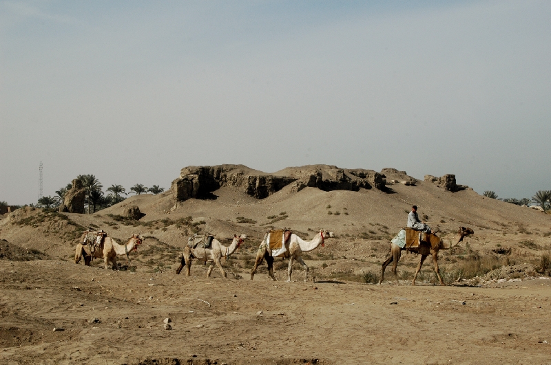
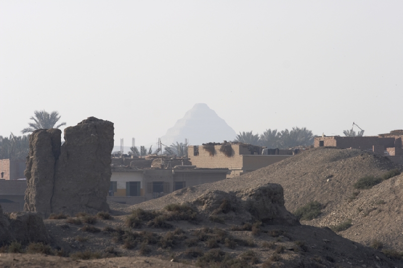
At present, the archaeological site Memphis is a cluster of dozens of artificial mounds (tells or koms) and occupies a vast territory of around 500 ha. bordered by the modern villages Mit Rahina, Ezbet Gabri, Aziziya and the town Badrashein.
 Complex exploration of the Memphis ruin field yields rich material which enables detailed study of factors pertaining to the genesis of the capital cities of Egypt, particularly the interrelations of the capital with the nome administrations, the factors which caused moving the capital cities, and differing features of socio-cultural and religious life of the capitals’ population. These studies are being carried out within the framework of one of the main areas of CESRAS’ scientific activity - “Capitals of Ancient Egypt”.
Exploration history of the site
 The first archaeological work on the site permitted by the Antiquities Service of Egypt were carried out in January-March 1901 by A. Daninos (Daninos Pasha). Unfortunately at that time “archaeological” excavations were usually carried out without thorough, if any, documentation. For instance Daninos did not even pinpoint the exact location of the excavation area in his report. He just wrote “to the north from the ruins of ancient Memphis”. In the opinion of B. Kemp who conducted a topographical survey of Kom Tuman in 1976, Daninos had excavated the western part of the palace of Apries.
 Between 1908 and 1910, English archaeologist W.M.F. Petrie carried out large-scale excavations at Kom Tuman. One of his goals was to reveal the sequence of cultural layers composing the mound in the north-western part of the site. In the course of these excavations Petrie came to the conclusion that the mound is the platform of the “casemate” type with remains of palatial buildings of different periods. The last of these were erected by Apries (589-570 a pharaoh of the XXVI Dynasty. Additionally, Petrie carried out excavations of the massive mud-brick wall enclosing the palace and the neighboring “camp”. In the north-eastern section of the enclosure wall archaeologists uncovered the foundations of the “Grate Gates” It is important to stress that results of the work in Memphis were regularly reported in periodicals.
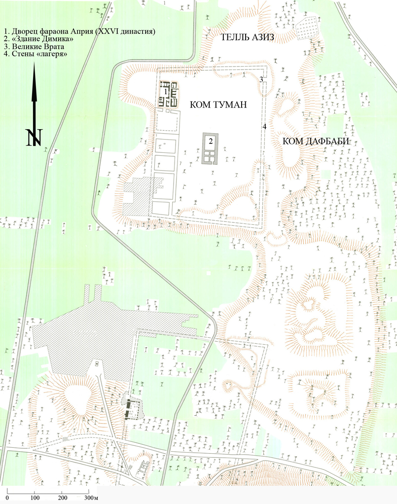
 In 1955 J. Dimick, field director of the Pennsylvania University expedition at Mit Rahina, compiled a map based on aerial photos of the site. It is worthy to note that besides the ruins of the Apries palace and the enclosure wall he also plotted remains of a large building in the central area of Kom Tuman.
CESRAS exploration of Memphis

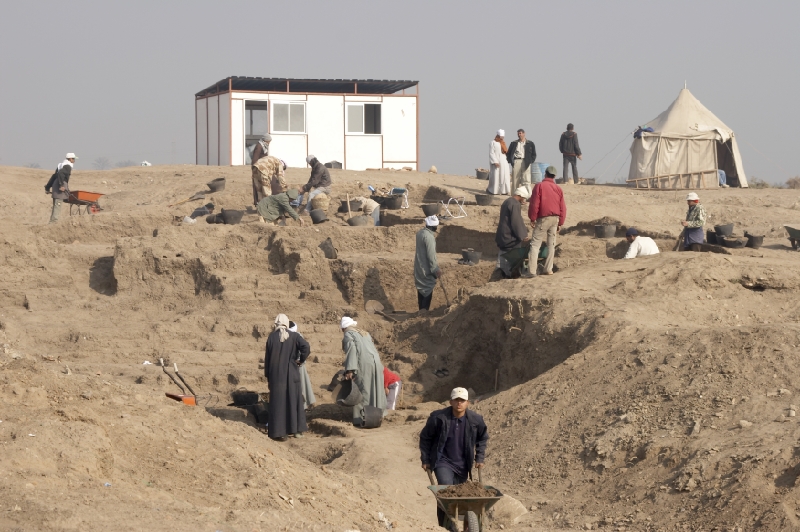
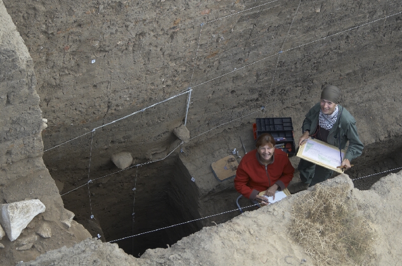
Topographic measurements, magnetic and electric surveys were carried out at the site in 2001-2002 in order to locate the most promising areas for further excavations. Unfortunately, the upper layers are severely disturbed by the robber pits and trenches of sabbahins (locals using the mudbrick detritus as a fertilizer in fields) and mainly contain contaminated material. Such obstacles impeded the establishing of stratigraphy and conducting geophysical prospecting. However, a magnetic survey revealed a cluster of highly magnetic objects in the central area of Kom Tuman. In the course of Russian excavations started in 2003 a large manufacturing complex was unearthed. Until now eleven furnaces for metal and faience production have been excavated and studied.
 During several seasons the field work was focused on studying the building plotted by J. Dimick. The evidence revealed during the excavations showed that the so-called “Dimick’s Building” is in fact just a combination of diachronic architectural elements belonging to different constructions, remains of which were visible on the surface in the mid 1950s . Data which would point to the function of the structures composing “Dimick’s Building” is very meager, as during the past 50 years many walls were dismantled to the foundations and almost no floors remained.
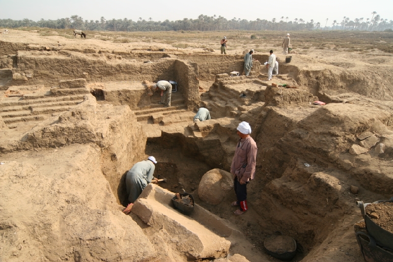
Field work in the central part of Kom Tuman yielded evidence that the area was densely populated from the New Kingdom through the Graeco-Roman Period. Excavations and core-drilling showed that the major construction activity at Kom Tuman was undertaken in the Late Period. It was preceded by the leveling of the area and heightening it, most probably in order to secure the buildings from subsoil water.
 A large number of pottery sherds, dating to the Middle and Old Kingdoms discovered in the upper contaminated layers allowed us to hypothesize that the territory of Kom Tuman may have already been occupied in the 3rd millennium.
 Simultaneously with large scale field research in the central part of the concession CESRAS is carrying out test excavations on its periphery, areas in which much archaeological material is most rapidly destroyed by the activities of the local population: land reclamation; building of houses, corrals; sabbahin and robbers digging etc. Several test trenches dug in Tell Aziz and Kom Dafbaby revealed remnants of some domestic features,